Kanjini Co-Op is thrilled that the Land has so many differing types of vegetation and landscapes.
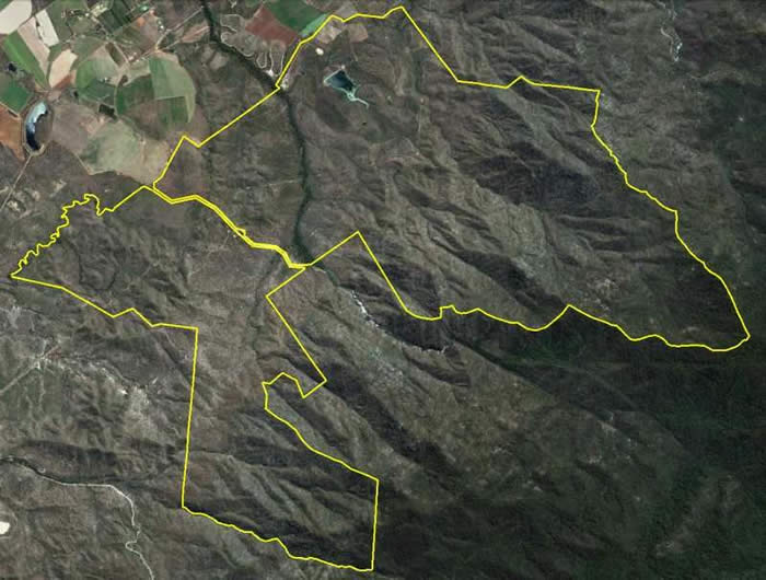
The image to the right is a map of the property boundaries - in yellow.
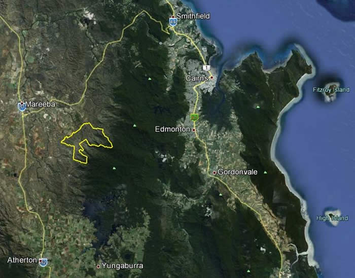 The image to the left is the property - in yellow - in a Regional Map view.
The 7500 acre former pastoral holding (yes that is thirty square kilometres of land!).
The property
is within an hours drive from Cairns and its international airport.
Mareeba township is 10 minutes drive away.
Kuranda Village is about 25 minutes drive.
The dark green down the centre of the map on the left is part of the Great Dividing Range and is World Heritage listed and protected land.
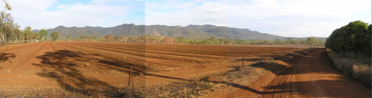
The soils on the property vary from 150 acres rich red/brown volcanic soils, as below, a very fertile and easy to farm soil.
There are also
100 acres of smaller pockets of arable land with sandy, grey, black and various other soils. Most of the arable land is at an elevation of 470-550m. On the hillsides there are granite sands and loams.
MORE INFORMATION AND IMAGES continued....